Marine geoscience, mapping the seabed, offshore renewable energy, climate change, interdisciplinary collaboration, policy and public engagement, art-science intersections with Mark Coughlan, Assistant Professor, UCD School of Earth Sciences.
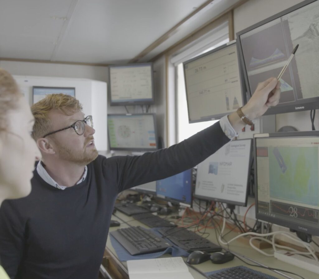
Assistant Professor Mark Coughlan
UCD School of Earth Sciences
Q: You work in marine geoscience. Can you tell us about your area of specialisation and how you came to it?
A: I never intended to become a marine geoscientist. The interest didn’t come until much later in my college life. Originally in school, I wanted to be a journalist or a writer, I liked English and history. In Leaving Cert, I dropped down to pass maths, because I was terrible at maths. But in that class I had a fantastic teacher who loaned me a book by Bill Bryson called ‘A Short History of Nearly Everything’. I read that and I was just enthralled by the world of earth sciences and geosciences and geology and all of that.
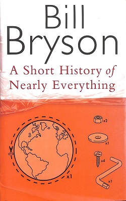
“I had a fantastic teacher who loaned me a book by Bill Bryson called ‘A Short History of Nearly Everything’. I read that and I was just enthralled by the world of earth sciences and geosciences and geology and all of that.”
For university, I decided to give geology a go, because it seemed really interesting. I went to the open day at University College Cork and John Gamble, the Head of School at the time, gave the talk. I was mesmerised by mention of meteorites, volcanoes, all this really cool stuff, so I went into my undergraduate degree with the intention of doing geology. In fourth year, we had a module called ‘Frontiers in Geology’, or something to that effect.
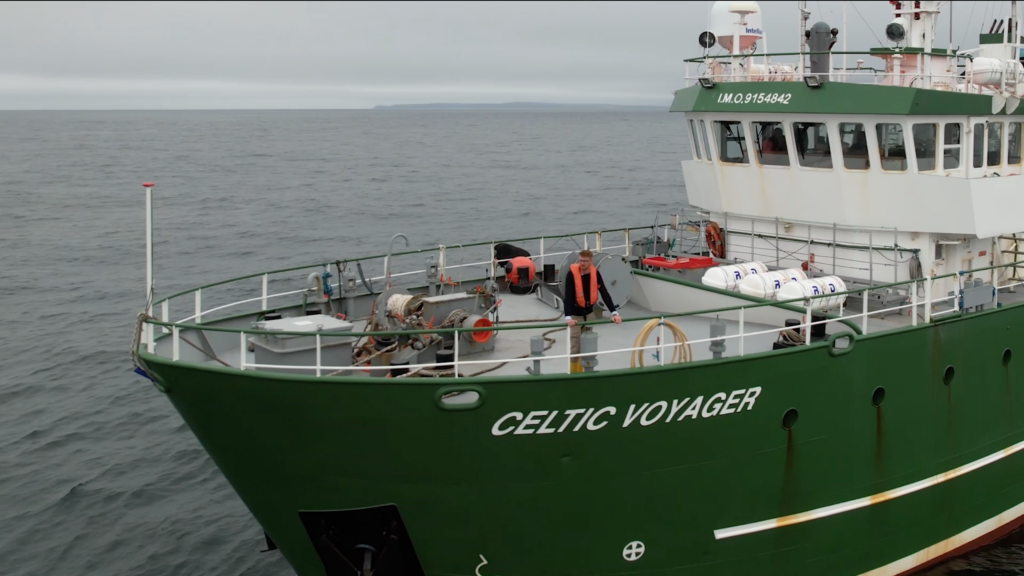
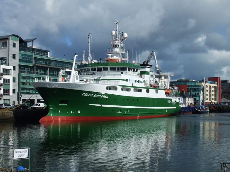
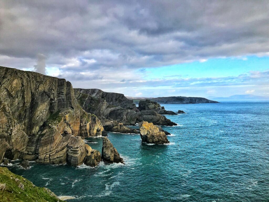
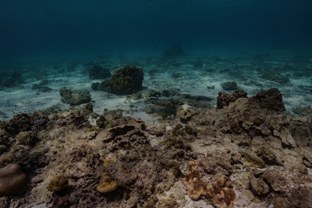
Andy Wheeler and Boris Dorschel from the marine geology group gave presentations and they really captivated me. They showed these maps of the seabed and these amazing cold-water corals off the west coast of Ireland, so as part of that module I did a small research project on cold water corals. I think I did a decent enough job on it, because Andy invited me to join a survey and before I finished my undergrad, I went out on the Celtic Explorer with him and the team for a week and a half or so. We were doing Remotely Operated Vehicle work off the west coast of Ireland, looking at the cold-water corals.
That time at sea fascinated me, not only the science, but also just life at sea. I’m from a seaside village, Kinsale in Cork, I’ve grown up with the sea and it’s always interested me, but actually being out and mapping the seabed and exploring the ocean, it was amazing.
Q: What do you think is it about the sea that’s draws people so powerfully?
A: As a species, we have this deep emotional and physical connection to the sea, but it is such a hard place to explore. Very few people really know a lot about the sea, so it’s always had that sense of mystery, both through mythology and through storytelling, but also the physics of the ocean and the geology and how it evolved over time and what’s happening down there now. That just got me and then a whole new world opened up.
Q: What did you do after your degree?
A: I graduated from my undergrad during the bust years. The options were, go to work in the mines in Australia or try and do some sort of postgrad. Andy (Wheeler) had a survey coming up that was in support of an offshore wind farm development, involving some research. I joined that as a bit of a dogsbody, just doing jobs on the boat. At the end of it there was an opportunity to turn that topic into a PhD with some funding. I applied for it and got it, and I never really looked back.
I did the PhD in Cork but I spent a year in Germany at the MARUM Institute in Bremen, which is a huge marine environmental sciences research institute. Compared to Cork, which was quite a small research group, it had hundreds of people. Then I came back to do my final year in Cork
Q: After your years of research in this area, what do you see as the biggest environmental challenges within marine geosciences, and what kind of solutions and approaches are at the cutting edge of addressing these?
A: Within marine geoscience on of the big topics is mapping our seabed. At the moment, we have 26% worldwide of the seabed mapped, so around a quarter of it. The intention is to get to 30% by 2030 under the Seabed 2030 project. Having maps of the seabed, what it looks like, what’s down there, really underpins a lot of what we’re trying to do more broadly in terms of protecting habitats, understanding biodiversity, understanding biogeochemical cycling, how different elements move around our various different spheres – the atmosphere, the biosphere and the hydrosphere.
This work is important for developing renewable energy, laying communication cables, fibre optic cables, and predicting geohazards like tsunamis and things like this. If you don’t have a map, you don’t know what’s there. The mapping technologies for this have advanced hugely in recent years.
At the start of the 1900’s people were using lead line point soundings. Then it evolved to single beam echo sounder, developed during the war to find submarines and then being used to figure out depths of the seabed. That became multi beam mapping, and the whole technology around multi beam mapping has kind of exploded over the last couple of years. Now we’re at the stage where we have autonomous drones and sea going vehicles.
Autonomous water vehicles mean we have no need for big, expensive ships and crews. Here is where the technology is going to speed up the process. Also, you’re collecting huge amounts of data that need to be assessed, processed, cleaned, analysed, interpreted as well. Shortening that workflow, that’s where the kind of the pinch points are in the field. It’s crucial to understanding climate change through looking at seabed sediments and so on.
Good maps are essential, that’s step one. Once you have that, then you can, you can bolt on all these other things. That becomes quite important in a rapidly changing climatic and environmental setting. We need to set baselines against which we can assess certain changes and even anthropogenic impacts.
“The rate of climate change is outstripping our ability to set baselines against which to assess these kinds of changes. So that’s another challenge to the community to gather enough data and get it together quickly enough that we can say around the world this is what happened”
Q: How does this connect to our understanding of climate change?
When we think about climate change, one of the few comparisons in geological history that we really have to the kind of current scenario is that kind of Paleocene-Eocene Thermal Maximum, which happened about 56 million years ago, when global temperatures rose by about 5 or 8°C because of this massive input of carbon dioxide into the earth system from the likes of volcanic activity. That’s essentially what’s happening now, except the source is human activity and burning of fossil fuels.
In order to understand what’s happening now and what might happen, we need to understand what’s happened in the past with events like that, and one of the few ways we can understand that by taking cores or taking samples from the seabed, from the sediments and the rocks that reflect that time period.
The rate of change is outstripping our ability to set baselines against which to assess these kinds of changes. So that’s another challenge to the community to gather enough data and get it together quickly enough that we can say around the world this is what happened.
Carbon is also a hot topic now, how much carbon is stored in the seabed, and the propensity of that to be locked into the long-term carbon cycle, to be sequestered and stored in in the seabed and not released back into the into the atmosphere. You’ve also got the impacts of trawling and those kinds of activities on the seabed. That has a massive impact on benthic ecosystems and ecology, that’s been fairly well established.
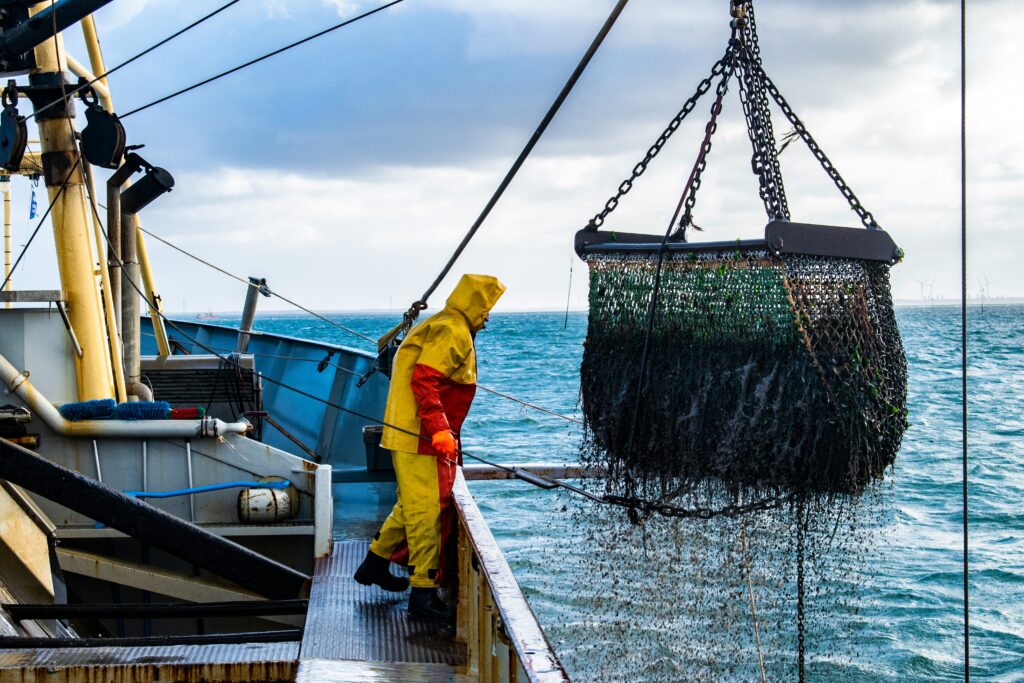
More recent studies are pointing to the fact that trawling is actually releasing carbon, which is being transformed back into CO2, into the water column, and then potentially that CO2 is entering back into the atmosphere. The scale of that is still quite unknown. There was a paper a couple of years ago that suggested that trawling worldwide releases more carbon back into the atmosphere than the airline industry, but the modelling around that has been debated by the scientific community since.
Fundamentally, we don’t really know. So going out and doing measurements and gathering data is really important, but we’re trying to do that against a shifting baseline, because trawling and these kinds of seabed affecting activities are happening anyway.
Q: As you’ve mentioned, you’re particularly interested in is the seabed. You lead one of the Earth Institute strategic interdisciplinary projects, UCD Marine and Seabed Research Group (UCD MarSea). Can you tell us a bit about that interest?
A: Well firstly, the seabed is such a vast area, about 70% of the planet is effectively seabed. Within that realm, you have geological, biological, oceanographic processes, all combining to create this incredibly dynamic environment. It’s key in terms of supporting things like biodiversity, varieties of ecosystems, geochemical cycling, renewable energy development, understanding past climates, and predicting geohazards for instance things like tsunamis.
The dynamism of the seabed is something that fascinates me and many other people in the Earth Institute and that’s really what brought the group together. Within the group we have fellow Earth Institute members like Jennifer Keenahan from the School of Civil Engineering, who’s very interested in flow and fluid dynamics, and then James Herterich, who’s a mathematician. It’s a very diverse bunch of people from biologists to geoscientists and people who are interested in in physical processes.
Q: What are some of the applications of understanding the seabed and its dynamics?
A: One important aspect of the seabed is bedform migration and sediment mobilisation. If you go down to the beach, you’ll see those small ripples on the on the shoreline from the tide coming in and out. You get very similar features on the seabed, but scaled up to tens and hundreds of meters in length and even height sometimes. They are called bedforms and they can move around, causing massive changes to the seafloor as they do.
If we develop infrastructure on the seabed, like offshore wind foundations of telecommunication cables, and they are in the pathway of these moving bedforms, they can be impacted and potentially damaged. As a result, understanding the dynamics of these bedforms is important to protecting critical infrastructure.
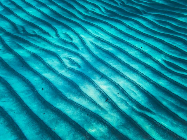
“If we develop infrastructure on the seabed, like offshore wind foundations of telecommunication cables, and they are in the pathway of these moving bedforms, they can be impacted and potentially damaged. As a result, understanding the dynamics of these bedforms is important to protecting critical infrastructure.”
Q: Tell us about your experience of working in renewable energy in the private sector, and what was it like coming back to the university after this period?
A: I was very fortunate to go into industry and work in that sector, but likewise, very fortunate to be able to get back to research and take some of the learnings from industry and bring them back here. During my time in the industry. I worked in offshore wind primarily, both in project development and also consulting with a company based here in Dublin.
My first job was on the development side, it was a big change. I’d come straight from my PhD to working in this kind of project management role. Suddenly I was thrust into this world where I was having to communicate with financial analysts to build business cases and make very quick decisions.
As I was fresh out of the PhD, very young, and had to learn to communicate across all these disciplines like finance, wind and data analysis, engineering, geophysics, planning, environmental impact assessment. People are relying on you, and you quickly learn that everyone has their own timelines, their own objectives. Whereas in research you can usually choose who you collaborate with – you have that option so you tend to collaborate with people that you can get on with, who share values. When you’re working in industry, you’re kind of thrust into these settings. The speed of decision making is different to research.
I think the role of research, in a way, is to really explore things in a deeper sense, and get to the bottom of the problem itself, not just get this one thing done. It’s about context. After my time in industry, I moved back to iCRAG, the Research Ireland Centre for Applied Geosciences. It offered avenues for people like myself whose research could be applied to solving some challenges in certain private or industry sectors.
Q: Your work does still have quite an applied focus in terms of addressing energy challenges. What would you say are some of the main issues to overcome within renewable energy and marine spatial planning more generally?
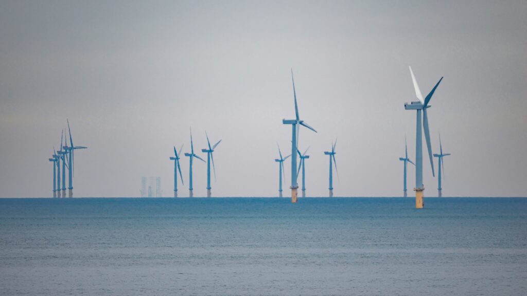
A: Both are very interlinked. From a renewable energy perspective, fixed bottom wind farms have been going across Europe for nearly a generation now. By fixed bottom, I mean wind turbines that are physically attached to the seabed by large poles driven into the seabed, or by weight it sits on the seabed. There’s been gigawatts generated across Europe from this type of wind farm. So, the technical challenge of that is relatively low because it’s been established.
The main challenge is around marine spatial planning and development support. When Arklow Bank offshore wind development was built in 2004 it employed the largest turbines in the world. Ireland was very much at the forefront of offshore wind development at that time. But then, the decision was made by government that we would meet all our renewable targets based on onshore wind alone. Offshore wind was seen as prohibitively expensive, which was true at the time because the industry was still quite nascent.
However, in the intervening years, the cost of offshore wind has come down dramatically, especially in the UK and Europe. But in the intervening years, Ireland hasn’t necessarily put in place the support mechanisms to allow the industry to really get a foothold, for instance in the planning regulations. Things like contracts for generating electricity, connecting into the grid, all these things are critical. It’s only really now we’re starting to do these things. We haven’t really built the capacity up to do that yet at the scale required.
At the same time, we’re also trying to run other processes in parallel, like designating Marine Protected Areas. It’s complex, there’s a lot going on in tandem that’s complementary, but also potentially causing conflict. In a way it’s about joined up thinking. A lot of policies and actions are run out of different government departments, so then they don’t always align.
Things are getting better, for instance the establishment of The Maritime Area Regulatory Authority (MARA), but there’s still disparate governance that could be brought into a one stop shop style scenario. I would say this aspect is probably the biggest inhibitor.
Q: Would you see more offshore wind farms in the future in Ireland, is that the direction of policy?
A: Yes. That’s in the Climate Action Plan, the Offshore Renewable Energy Development Plan, the second iteration of that, it’s all pointing towards increased amounts of offshore wind development out to 2030 and beyond. They had some ambitious targets. There’s been a lot of discussion in the media especially about whether those 2030 targets are actually going to be met because of planning regulations, consent and those kinds of things
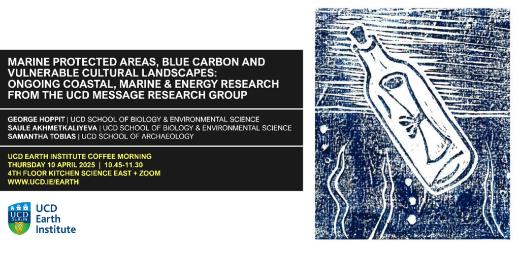
Q: Another interdisciplinary group you’re involved in is called MESSAGE (Marine & Energy Social Sciences & Humanities Interdisciplinary Research Group). Can you tell us a little bit about the group and your experience of working with AHSS researcher?
A: MESSAGE was born out of a collaboration through iCRAG where I teamed up with Geertje Schuitema from the School of Business and Tasman Crowe who was in the School of Biology and Environmental Science. I had a project that had just then started, looking at the potential of marine sediments to store carbon. We were looking into the science behind that in terms of how much carbon accumulates on the seabed, is buried entering into the carbon cycle, and can be disturbed by human and ocean events.
In order to protect this carbon from being released back to the atmosphere through disturbance like trawling or cable laying, we may need to look at designating certain areas as MPAs on the basis of their carbon storage potential, preventing certain activities from taking place there. But the funding reviewers highlighted the potential for a social sciences element. You’re talking about potentially changing use of the seabed for carbon storage and so it would be good to know how people feel about that.
I was quite inspired by that and I reached out to Tasman, whose postdoc at the time Tomas Buitendijk was working with him on a similar project called EcoStructure. That was about public perceptions and understanding of coastal processes. We had a chat and co-developed the kernel of this idea that became Taking Stock. It looked at public perception and understanding of the sea floor with regards to marine sediments and carbon.
We did a lot of field work and surveys up and around Dundalk Bay, talking to people, getting their perspectives on the use of the bay for different purposes. I really, really enjoyed that, particularly because working with the likes of Tomas and Geertje was invigorating. There were so many ideas and so much energy to this, and they really wanted to learn about what I do, and likewise, I was really intrigued by what they did. That project finished about a year and a half ago or so. On the strength of that collaboration, we felt there was a real credence in what we did, so decided to try and expand it out.
We were quite lucky – mainly through Tomas’ energy and endeavour – to win some additional funding for other projects along similar lines. For example, we have the ENACT project, which is looking at coastal communities and renewable energy. Tomas was involved in Blue4All and other ones.
At that point there was a critical mass, so we decided, through the good graces of the Earth Institute and iCRAG, to set up MESSAGE as a home there and foster these collaborations, funded through the HEA and the Sustainability Unit. Tomas’ energy and drive to organise events and facilitate get togethers has resulted in a few new collaborations.
Q: What has that been like for you?
A: In terms of what I’ve gotten out of it? Well, as the Greek philosopher Epictetus said, you have two ears and one mouth! I suppose the one thing that I’ve really learned from working with social sciences and environmental humanities communities is essentially how to listen. I think often as scientists, we have the sense that we have to talk and present and flood people with information, data, stats, figures, but a lot of that is unpalatable to the general public.
My collaborations have shown me how social science and humanities work in terms of how they listen and how they communicate information to people. I think it’s something we as scientists in STEM can really learn from.
Through these interdisciplinary projects I also learned that Irish people have a real trust, you might even call it a faith, in science and what we as scientists do. They believe us when we when we say things by and large. I think that’s reflected in things like the uptake in vaccines during Covid. A high proportion of the of the public have a third level education. I think they trust us as researchers, but we maybe have to do a better job in terms of how we disseminate information.
Q: Are you interested in that side of things – public engagement, science communication and policy interface?
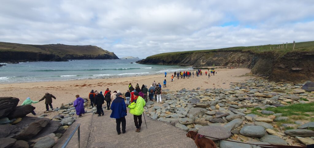
A: Definitely. Getting people involved in things like marine spatial planning is key – one part of the national marine planning framework is to encourage people to actively engage with public consultations around offshore developments, not just offshore wind, but any activity. Iin the past, sometimes it’s been a kind of a present and defend way of doing development, whereas, if you actually understand what people’s motivations are for what they do, and how they connect with their local area, you can do a better job than that. You can be attached to an area culturally, because that’s where you grew up, and that’s how you identify. You can have an economic attachment, which would be very, very different.
On the other hand then you have the policy makers who want to make the data-informed decisions based on the best available science, but this science can be complex or incomplete, so it takes a different mindset in terms of how you present findings that may be useful to them.
Q: Finally, you’ve worked with artists in the past – tell us a bit more about some of those interactions.
A: I think people are interested in science, but they’re captivated by art. People who are interested in science, they’ll always seek out science, they’ll read articles online, they’ll go to exhibitions. But art allows you to access that part of the community that maybe aren’t necessarily interested in science and show them there’s another way of engaging with science.
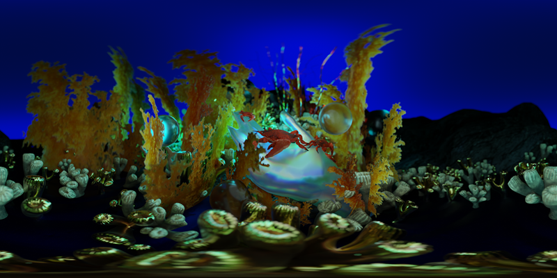
I was really interested by that mode of communicating science back to people. A couple of years ago, again, through iCRAG and SFI, we had an opportunity to work with an artist to develop pieces for school kids. We worked with Liing Heaney, an audio visual artist. The project was named and based around the word caibleadh, an old Irish word that Manchan Magan gave to Prince William.
Caibleadh means other worldly voices heard in the distance on the sea at night. It evoked the mythology of the sea and how people use mythology to explain things that happen. There are different words for the sounds that are made at sea, and in mythology the Tuath Dé Danann came from the sea,
We worked with Liing on the idea of developing something around that. When she talked to us, she found out that we mapped the seabed. We use sound effectively to map what the seabed looks like. Colleagues of mine in iCRAG, at the time, Eoghan Daly used to record the sounds of the sea through acoustic monitoring.
Liing took some of this data, and she managed to make it into a 3d visualization with an accompanying soundscape. In it you can explore the seabed through VR and in the background you have the sound of the sea. She collaborated with a with a recording artist on that to create this whole immersive environment and she put it in a video that could be viewed on an Oculus Rift.
When you participate, you start off on a boat, and you descend down through the water column, and you land on the seabed, and then you’re moving around the seabed. But as you’re doing that, all these mythical creatures are emerging. It’s a very trippy interaction between mythology and the marine environment, and the sounds of sea.
I’ve also been working a small bit with Martina O’Brien, another artist based in Kildare, and we’ve done stuff around shipwrecks and seabed data too. Working with artists allows you to address sometimes contentious issues and create a space with people for a different form of conversation. I just love it as a way to exchange ideas.
Another piece of creative work I was involved in was Writing the Earth with the Irish Writers’ Centre. Through that, colleagues of mine talked about things like mineral extraction in the Congo and explored for example the metal that goes into your phone, how this drives particular forms of mining in these places, and how we’re all kind of complicit in it. It creates space for that conversation, from a different angle.